MIT Campus Porosity Mapping
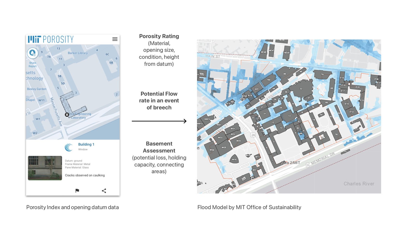
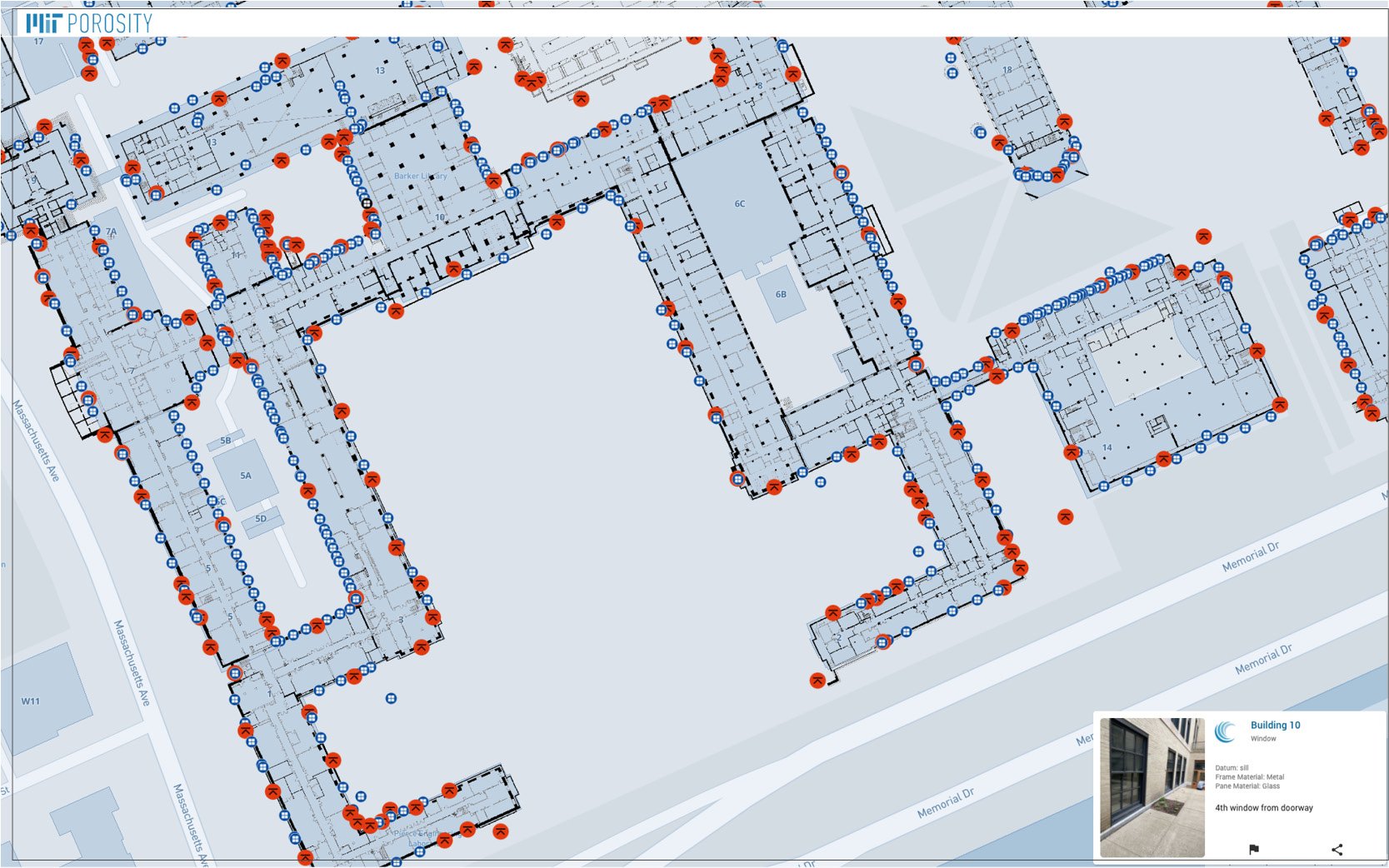
The MIT campus sits on reclaimed land, originally tidal flats. Since reclamation, both the city and the campus have grown at a rapid pace during the past 100 years. With sea-level rise, increased precipitation, and the associated risk of increasing storm surges it is vital to assess the flood vulnerability of the MIT campus. The Office of Sustainability at MIT has been working on a campus-based Flood Risk Model to integrate with the City of Cambridge Flood Risk Model using ICM 2D. This complex model provides a “comprehensive understanding of current and future risks to a range of flood scenarios including precipitation, riverine, sea-level rise and storm surge events.” With this critical information now available, our project further investigates the porosity of each building on campus to help the MIT Office of Sustainability analyze where potential openings are along the built edge and how floodwaters could traverse the complex subterranean passages. To precisely map the various conditions of porosity—such as aged single-pane windows, ventilation shafts, doors, and skylights at ground level—that can potentially let the floodwater inside the basements, we are creating a software platform and engaging students, using MIT as a living-lab.
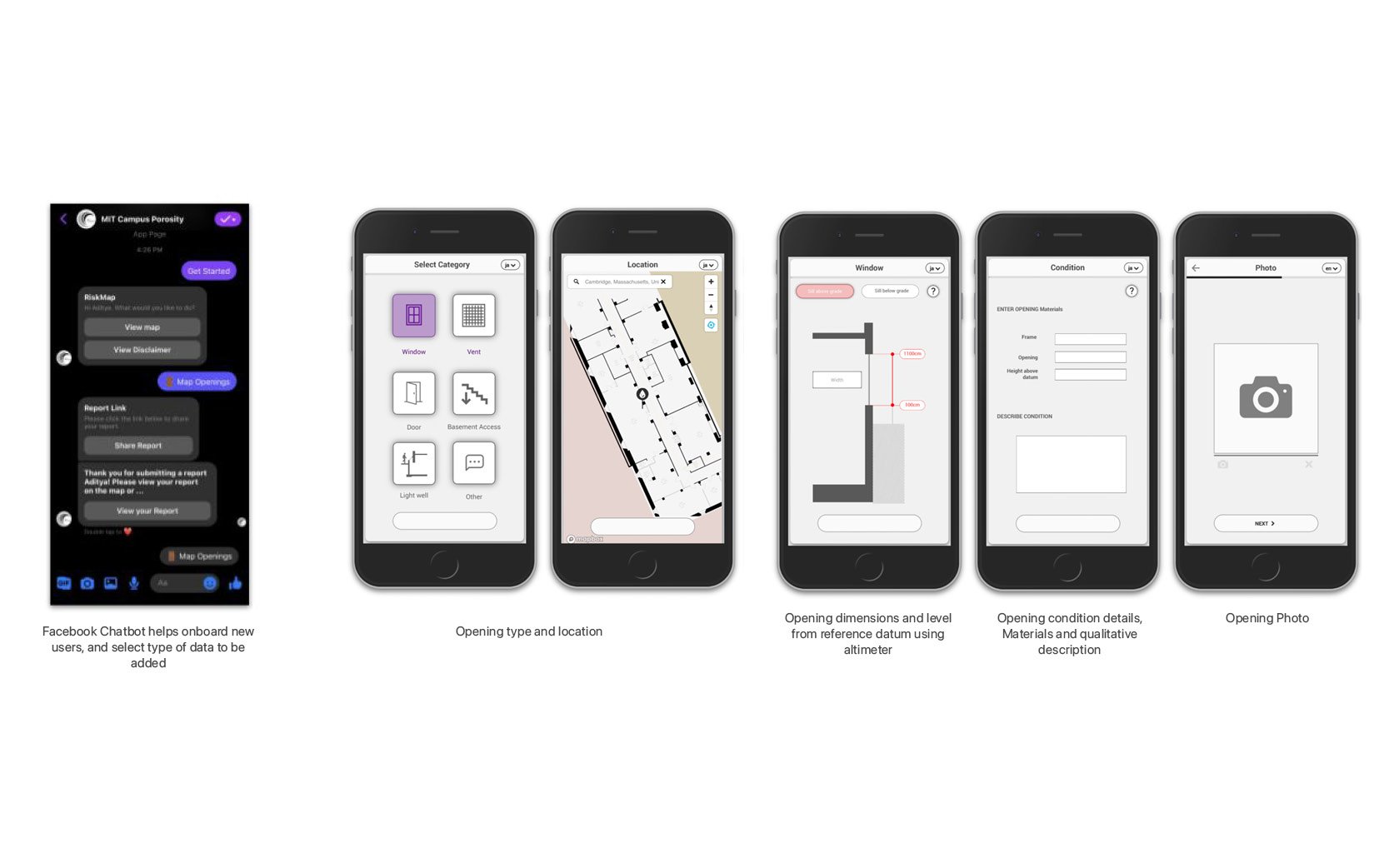
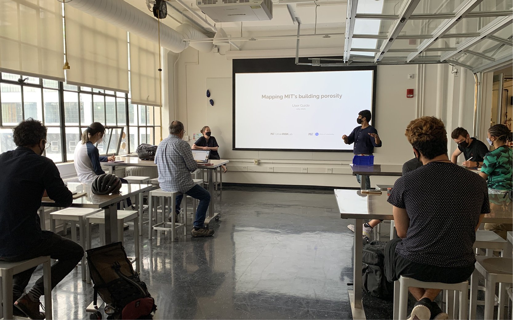
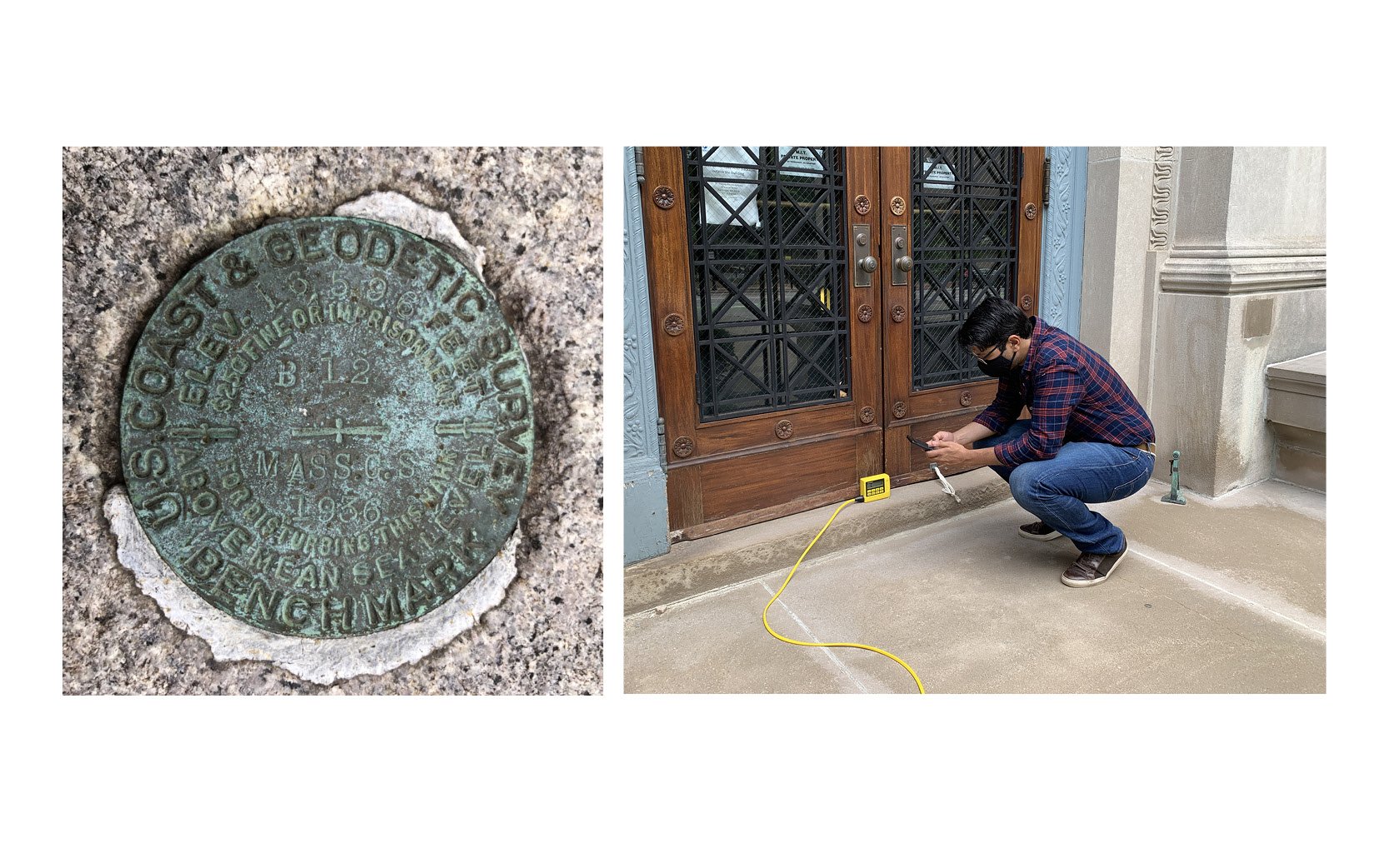
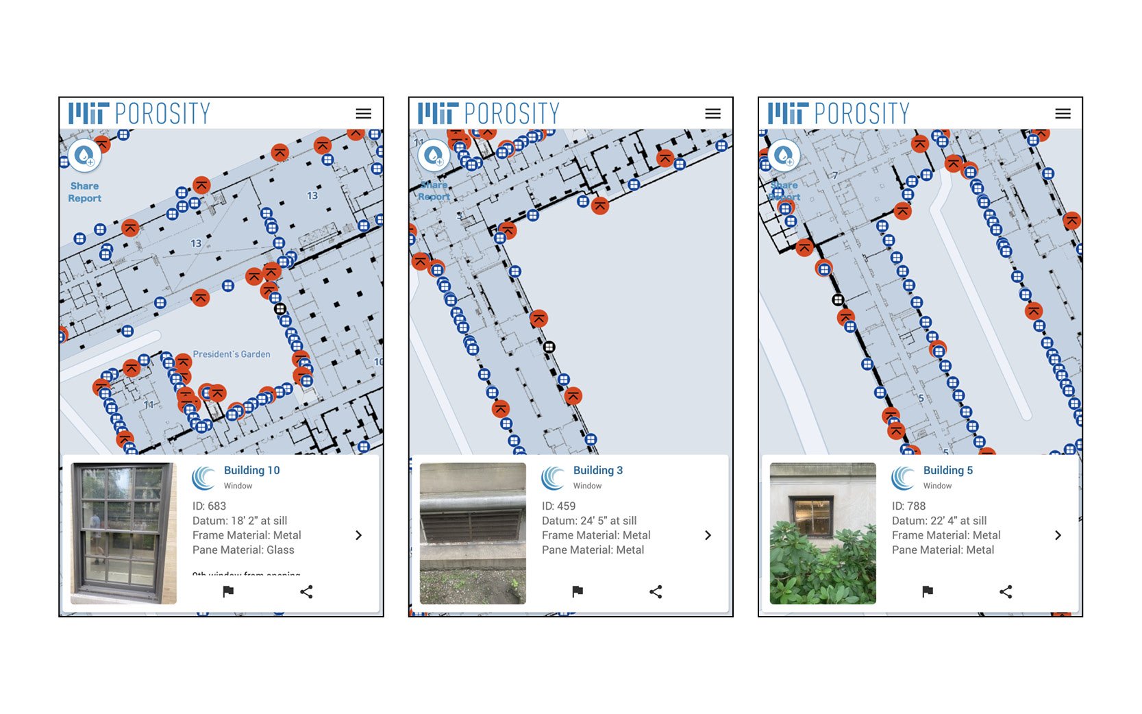
As a palimpsest of new and old buildings, the challenge is to document points of vulnerability with respect to potential flooding. While more recent buildings are well documented, we don’t have a campus-wide map of ground-level openings that can be correlated with the reference datum of the flood model. Furthermore, by assessing their conditions and potential points of failure, it will be possible to model how potential floodwaters will travel through the campus ground floor and basements, containing valuable and irreplaceable research material. This lack of data presents a challenge for understanding areas of potential damage—material as well as educational, as basements at MIT house a diverse set of uses. Through this project, we developed a chatbot-based tool that can be used on any mobile phone. This tool will allow for data collection for the whole campus through a group effort with students. This exercise will involve MIT students in an important experiment that also increases their awareness of flood issues and their own stewardship on campus. For the MIT Office of Sustainability and MIT Facilities, this project will lead to a better understanding of which buildings and basement research infrastructure will suffer damage
MIT Urban Risk Lab: Miho Mazereeuw, Aditya Barve, Mayank Ojha
MIT Office of Sustainability: Brian Goldberg, Kenneth Strzepek, Katerina Boukin

